Discover the Majestic Landscapes of Northernmost Vietnam
Ha Giang is the name of the province located at the very northern tip of Vietnam.
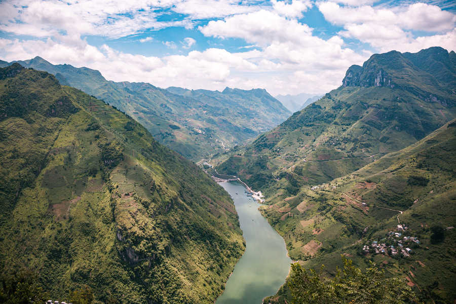
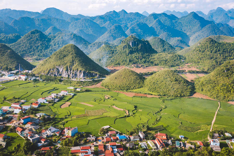
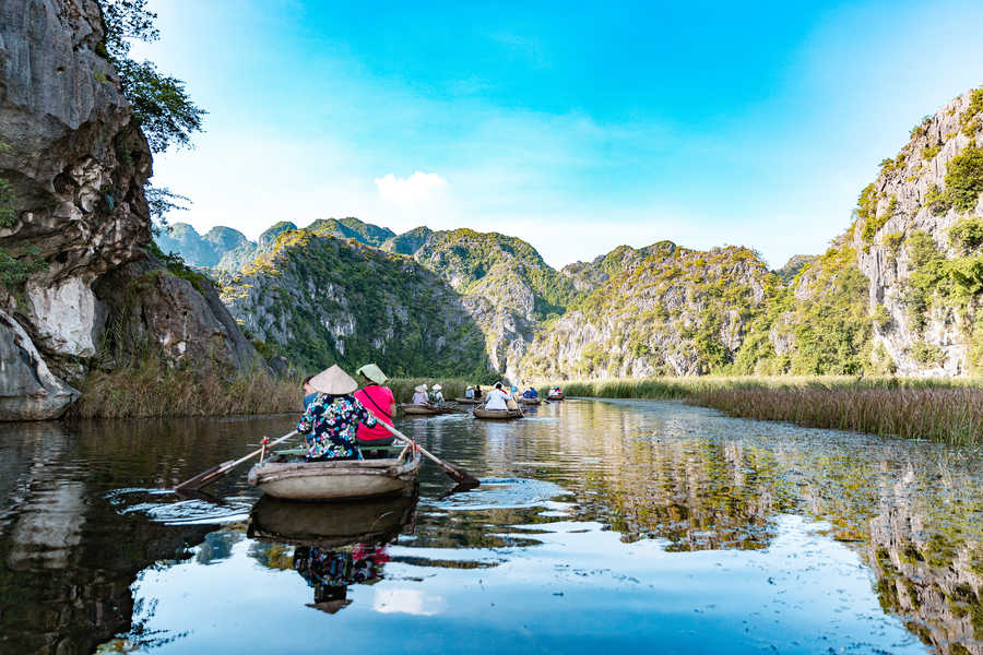
Long overlooked by visitors, the region is gradually opening up to tourism and reveals breathtaking landscapes. You won’t be disappointed by this mountainous area, where rocky peaks, valleys, and rivers come together in dramatic harmony.
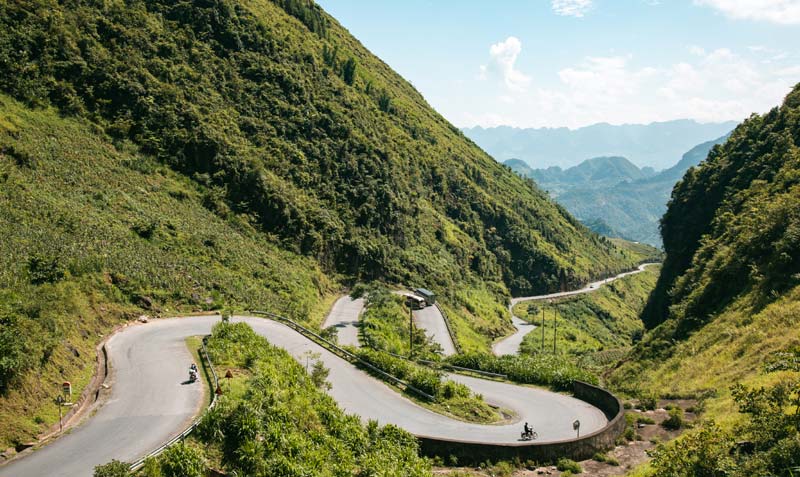
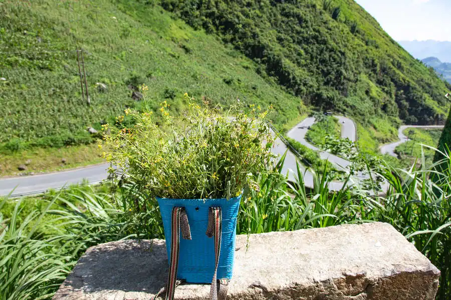
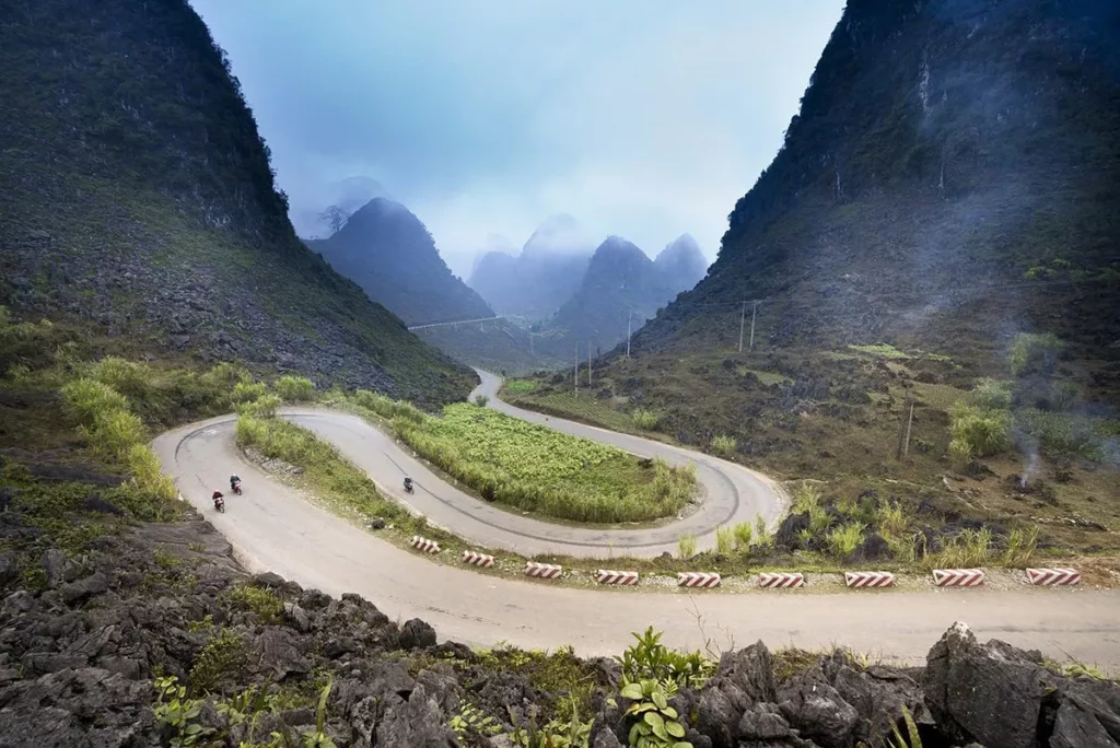
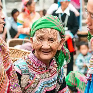
In the northeast of the province, you will be amazed by the way the road winds along the mountain slopes. As you explore this region, mainly inhabited by the Hmong people, take your time to admire the Dong Van Karst Plateau — Vietnam’s first geological park — as well as Ma Pi Leng Pass, one of the country’s highest mountain passes, rising 2,000 meters above sea level.
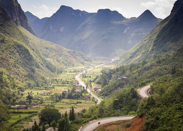
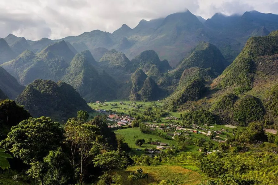
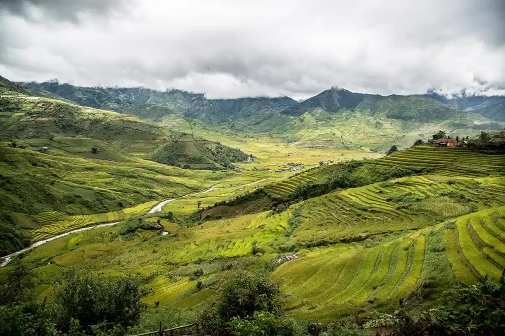
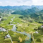
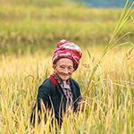
In the southwest lies Hoang Su Phi district, a mountainous area famous for its stunning terraced rice fields. Our tour through this region invites you to discover these remarkable landscapes and meet the local ethnic communities who live there. It’s an invitation to experience unforgettable moments off the beaten track.
To get a glimpse of what awaits you in Hoang Su Phi, here is a video made by journalist Vincent Desombre during our 6-day tour meeting the local people.